
Study: Eastern WA aquifer declining in most areas
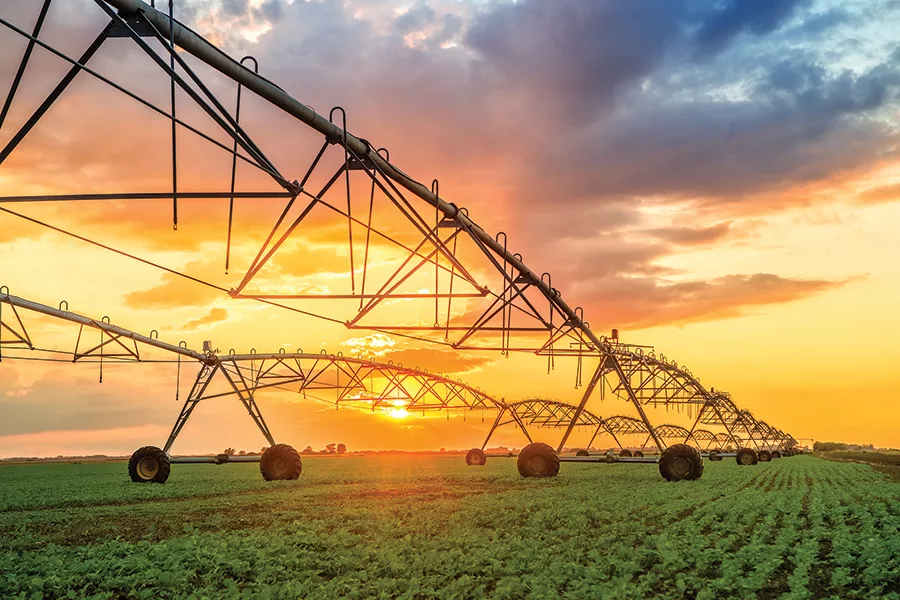
A source of between a quarter to one third of the irrigation water used across eastern Washington is shrinking right beneath our feet, according to recent research conducted by Washington State University.
By looking at how much water is accessible via existing wells, researchers found that the aquifer in some areas of the state, such as the Yakima Basin and the Odessa region, is losing up to two or three feet of groundwater per year, according to a release.
“With these numbers we can say, ‘Hey, this is a problem now,’” said Sasha McLarty, assistant professor in the Department of Civil and Environmental Engineering at WSU and the corresponding author of the new study, in a statement. “It’s not a problem in the future, it’s a problem now.”
The aquifer throughout the Columbia Basin contains multiple layers of alternating rock, and they are not uniform across the region. While past groundwater studies have looked at the amount of water used and the total volume of water in the aquifer, McLarty’s study looked at how much water was accessible in different layers based on existing well depths.
Data collected from 3,000 wells found that the thickest layer of basalt known as the Grand Ronde has seen the biggest declines – at 1.86 feet per year on average and up to about 7 feet per year. The top layer of sedimentary rock had the smallest decline at just over two-tenths of a foot per year, but it also has less water than the other layers.
McLarty also looked at specific areas in the region and identified those most vulnerable. The Odessa area is on a pace to consume 10% of available drawdown by 2040 and half within 70 years. The Yakima Basin showed a similar trend.